Overview
The Grids and Graticules tool places labeled grids and graticules on a map to be printed or published.
To start the Grids and Graticules tool, select Tools > Geospatial > Grids and Graticules.
Keyin: DMSG ACTION KEYIN MapCSUtilities GridsAndGraticules
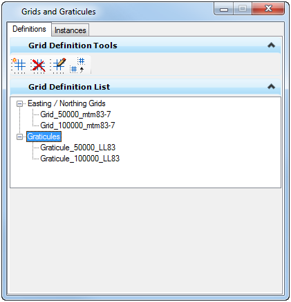
The grids and graticules dialog consists of two panes:
-
One pane is used to define the grids and the graticules definitions (or templates).
-
The second pane is used to create and manage Grid Instances. A Grid Instance is a graphical element that defines the grid extent and includes one or more Grids and/or Graticules definitions.
Differences between a grid and a graticule:
-
A grid is a series of orthogonal horizontal and vertical lines used to denote coordinate locations on a map. The Bentley Map grid tool creates a grid based on the current projected geographic coordinate system.
-
A graticule is a similar network of lines; however it represents lines of latitude and longitude of geographic coordinates.
A wizard is used to create a new definition or a new instance. Once complete, the created element is stored in the DGN. Typically the definitions and the instance for a particular project are stored in a DGN Library.